Landscape and Ecosystems of Odzala-Kokoua National Park
The park is situated within the broader Congo Basin. Congo Basin is a widely used term that refers to a large region in Central Africa. The Congo Basin is home to the second largest contiguous rainforests in the world after Amazonia.
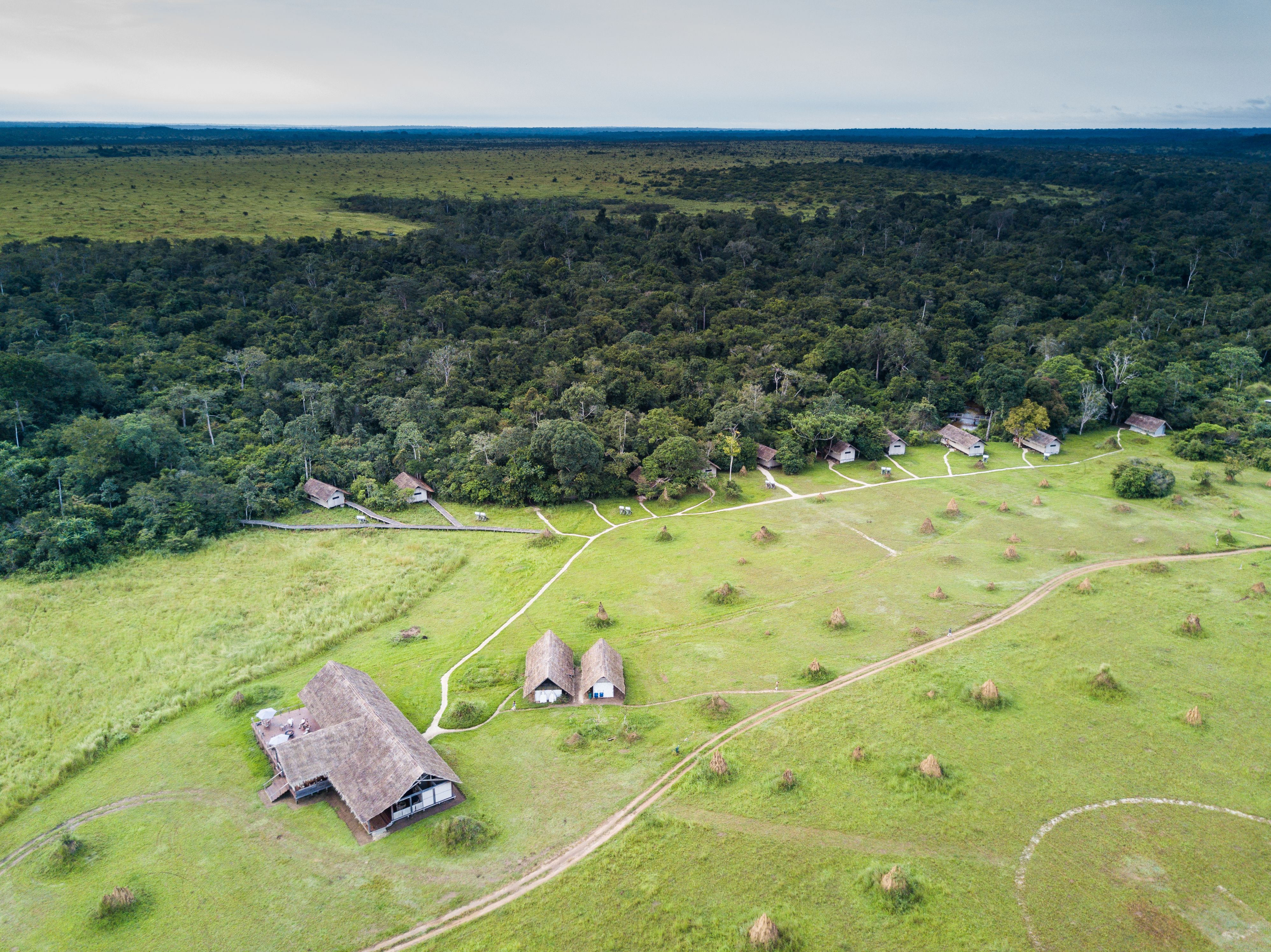
Human activities and globalization pose challenges to the park's flora and fauna.

Changes in animal populations may lead to encroachment of vegetation in the park's landscapes.
The park exclusively consists of "primary" rainforest, which originates where no forests existed before.
These primary forests have different appearances depending on their age, ranging from old and "intact" to pioneer forests.
Primary forests continually regenerate but are exceedingly rare in tropical Africa beyond 1,000 to 1,500 years old.
This exclusive presence of primary forests adds to the park's unique and pristine ecosystem, untouched by human activity.
The Mambili River is the primary drainage river in the park, originating in the Ogooué-Congo mountain range.
Water levels in the Mambili River undergo seasonal fluctuations. In August, the levels are low, while flooding occurs from October to December and from March to April.
Differences in water properties result from the nature of the soils over which the rivers flow. The water level of the Mambili River can change significantly within a short time, sometimes within a few hours.
Navigation on the Mambili River requires clearing obstacles and dealing with rocky areas.
During the dry season, canoes must be manually pushed over stones as the water level is low. In the rainy season, strong water currents can necessitate transportation along the riverbanks.
River system serves as a vital transportation and communication means for park-related activities.
Changing perception over time.
Originally considered for industrial use.
Understanding their history, role, and ecology is crucial.
Concerns about rapid destruction and dependence on technology.
Rich river network, important rivers (Mambili, Kokoua, Lekoli), crucial wetlands.
Exchange between forest and rivers during high water.
Unique fauna along lush riverbanks.
Water-covered forest areas with emergent trees.
Boat trips offer memorable experiences.
Bais are swampy clearings in the park that attract various large mammals.
Hypotheses exist about the source of minerals in the clearings, possibly coming from animal waste.
Large fauna like elephants play a crucial role in maintaining open environments within the forest.
Concerns about rapid destruction and dependence on technology.
Bais offer research and tourism opportunities, allowing unobtrusive animal observations.